- Total News Sources
- 1
- Left
- 1
- Center
- 0
- Right
- 0
- Unrated
- 0
- Last Updated
- 91 days ago
- Bias Distribution
- 100% Left
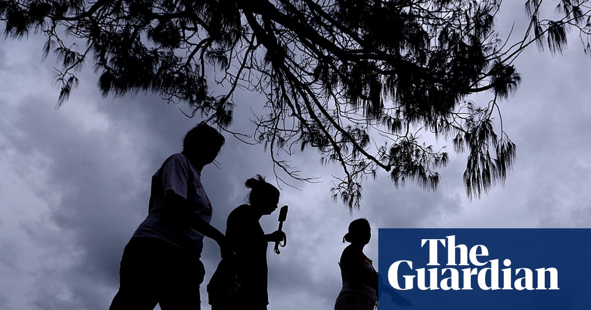
Severe Supercells Threaten SE Queensland, Northern NSW
The Bureau of Meteorology has issued urgent warnings for severe thunderstorms and supercells across south‑east Queensland and northern New South Wales, with risks of destructive winds, very large hail, torrential rain, flash flooding and possible short‑lived tornadoes. Meteorologists reported giant hail up to about 7 cm and golf‑ball‑size stones in parts of the Sunshine Coast, Laidley and Gatton, and storms have battered Brisbane and the hinterland. The most at‑risk areas include the Gold Coast, Brisbane, Sunshine Coast, Noosa, South Burnett, Lockyer Valley, Scenic Rim and Darling Downs towns such as Toowoomba, Dalby and Warwick, and across the border into Tamworth, Glen Innes, Moree and coastal centres from Port Macquarie to Byron Bay. Forecasters warned supercell storms could produce winds in excess of 125 km/h, torrential rainfall and flash flooding, and said hazardous conditions are likely to persist over the next 72 hours with a cloudband possibly bringing heavy falls to southern capitals early next week. Emergency services urged people to prepare for possible power outages, shelter indoors away from windows, avoid driving unless necessary, and noted major events and racing fixtures have contingency plans in place.

- Total News Sources
- 1
- Left
- 1
- Center
- 0
- Right
- 0
- Unrated
- 0
- Last Updated
- 91 days ago
- Bias Distribution
- 100% Left


