Negative
26Serious
Neutral
Optimistic
Positive
- Total News Sources
- 1
- Left
- 1
- Center
- 0
- Right
- 0
- Unrated
- 0
- Last Updated
- 19 days ago
- Bias Distribution
- 100% Left
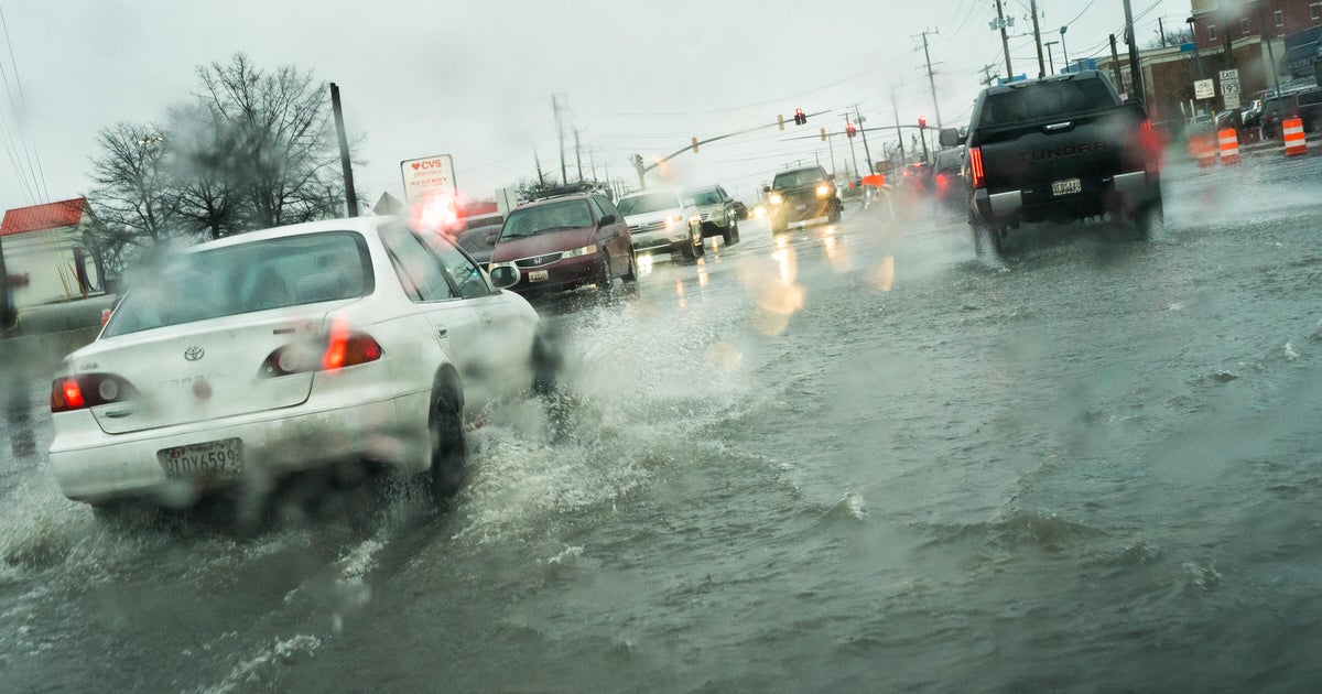
Maryland Launches Coastal Flood Explorer Mapping Rising Flood Risks
Maryland has launched the Maryland Coastal Flood Explorer, an interactive online mapping tool designed to help residents visualize and prepare for current and future coastal flooding risks. Developed by the Maryland Department of Natural Resources with support from NOAA and academic partners, the tool allows users to enter an address to see historic flooding events, high tide flooding predictions, sea-level rise projections, and future flood scenarios across coastal areas. Coastal flooding is an increasing hazard in Maryland, with NASA data showing that the average number of minor flood days per year in Annapolis has quadrupled since the 1970s. The tool aims to empower communities and individuals to build resilience through flood insurance, living shorelines, and nature-based solutions, while also assisting in flood planning and hazard mitigation efforts. Recent flooding events, including severe weather impacts in Annapolis and Howard County, underscore the urgency of these resources as Maryland faces rising flood threats. Experts emphasize that knowledge of flood risk is essential for both personal and community-level resilience in the face of ongoing sea-level rise and climate change.

- Total News Sources
- 1
- Left
- 1
- Center
- 0
- Right
- 0
- Unrated
- 0
- Last Updated
- 19 days ago
- Bias Distribution
- 100% Left
Negative
26Serious
Neutral
Optimistic
Positive
Stay in the know
Get the latest news, exclusive insights, and curated content delivered straight to your inbox.

Gift Subscriptions
The perfect gift for understanding
news from all angles.