Negative
20Serious
Neutral
Optimistic
Positive
- Total News Sources
- 3
- Left
- 2
- Center
- 0
- Right
- 0
- Unrated
- 1
- Last Updated
- 3 days ago
- Bias Distribution
- 100% Left
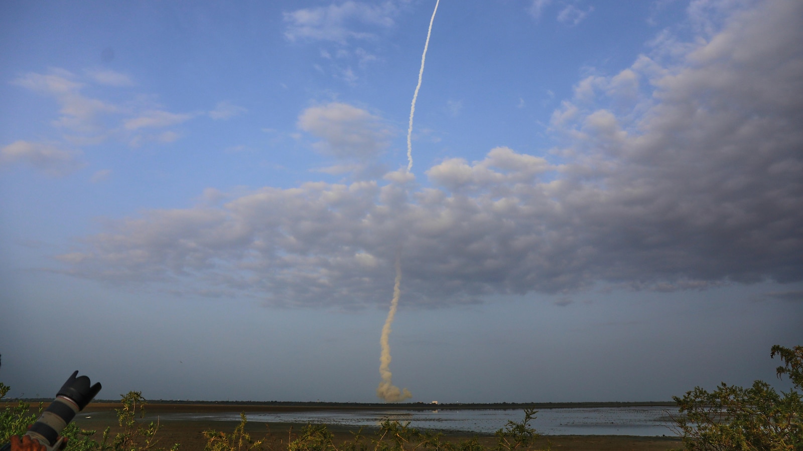
NASA, India Launch Landmark NISAR Earth-Mapping Satellite
NASA and the Indian Space Research Organisation (ISRO) have launched NISAR, a joint Earth-mapping satellite costing between $1.2 and $1.3 billion, to monitor global land and ice changes with unprecedented accuracy. NISAR is equipped with dual radars contributed by both the US and India, allowing detection of vertical ground movements as small as one centimeter. The satellite will scan most of the planet’s land and ice surfaces twice every 12 days, functioning through clouds, vegetation, and at night. The mission is recognized as the largest space collaboration between the US and India, highlighting expanding international scientific partnership. There are ongoing concerns that future NASA Earth-science missions could be curtailed due to budget cuts, potentially making NISAR one of the last large-scale projects of its kind for some time. NISAR’s data is expected to significantly advance disaster preparedness and climate change monitoring worldwide.


- Total News Sources
- 3
- Left
- 2
- Center
- 0
- Right
- 0
- Unrated
- 1
- Last Updated
- 3 days ago
- Bias Distribution
- 100% Left
Negative
20Serious
Neutral
Optimistic
Positive


